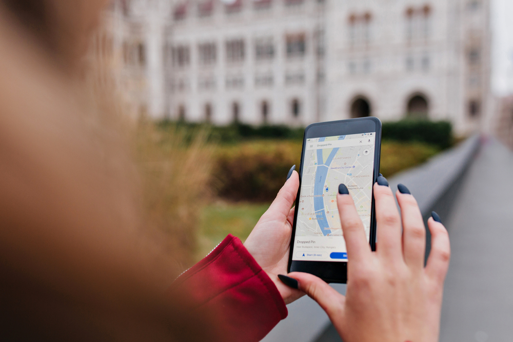
“You no sabi use map? You go lost ooo!” — that was what a friend told me when I arrived in the United Kingdom. At first, I laughed it off. But not long after, I realized just how right she was.😅
If you’ve just relocated to the UK, maybe as a student, a worker, or someone joining a family, this article is for you. Especially if you are from a country where public transport is less structured, road names are rarely followed, or Google Maps just isn’t that accurate. Because trust me, the first few weeks of finding your way around in the UK can feel like being dropped inside a maze.
Why You May Struggle With Google Maps at First
Back home, I never really relied on any map app. I either asked people for directions, followed familiar landmarks, or just “used sense” to find my way. So, when I arrived in the UK, I assumed it would be the same. Big mistake!
In the UK, many things are run by postcode and timing. You can’t simply say, “drop me by that tall building near the roundabout.” Nobody knows what you mean. Every location, every house, and every corner has a specific postcode. That was when I realized that knowing how to use Google Maps here is not a luxury – it’s survival.
Why Learning to Use Google Maps Is a Must
If you have just arrived in the UK, please — I repeat — learn how to use Google Maps. It’s your best friend for finding your way around.
All you need is your postcode. Type it into the map’s search bar, and Google will bring up a list of addresses linked to that code. From there, you simply select your exact house number. You can also type your full address if you prefer, but using your postcode is faster and more accurate.
In the UK, your daily movement usually depends on public transport (buses, trains, or coaches), unless you own a car. If you drive, the stress is a bit less because you move at your own pace. But for most newcomers who depend on public transport, Google Maps becomes a true lifesaver.
The app shows you different travel options for every journey:
- Driving
- Bus
- Train
- Bicycle
- Walking
Each option comes with an estimated time duration, so you know exactly how long it will take to reach your destination. For example, driving might take 20 minutes, while using a bus could take 40 minutes. This is simply because public transport makes stops to pick up and drop off passengers.
Another fact you will quickly notice in the UK is that time is gold. Buses and trains don’t wait for anyone. If the bus is scheduled for 8:10 a.m. and you arrive at 8:12, you have probably missed it. That’s why it’s important to always check your Google Map a few minutes before leaving home. It helps you plan your timing properly and avoid unnecessary stress.
Dealing With Bus and Train Delays
As much as public transport in the UK is generally reliable, delays also sometimes happen. The good thing is that Google Maps informs you in real time. You can see how many minutes or seconds your bus or train is delayed, and when it’s expected to arrive.
Still, as a newcomer, you will need a bit of guidance to understand how buses and trains operate. Don’t be shy to ask questions!
Here is another thing you should know: when you’re inside a bus and approaching your stop, you need to press the “Stop” button to alert the driver. If you don’t, the bus will simply drive past your destination. And in trains, always look up at the screen. It displays the next stop so you can prepare to get off.
Understanding the Concept of “Terminals”
Another term you will often hear in the UK is terminal A terminal is basically the main bus or train station where multiple routes begin or end. When searching for your destination, Google Maps will often direct you to the correct terminal. But again, be attentive so you don’t end up boarding the wrong bus or train.
Extra Note: As helpful as Google Maps is, it is not perfect. Sometimes, there can be a 1 – 2% error margin. It might take you through a longer route when a shorter one exists. So while you should rely on it for general direction, always stay alert and double-check with locals or station signs when you can.
Final Thoughts
There is honestly a lot to unpack about the UK’s transport system. But once you get the hang of using Google Maps and reading routes, everything becomes easier. Over time, you will even start helping others find their way!
At Travelradio.live, we love sharing real stories from real people. These experiences make immigration life more relatable and less intimidating.
Have you had any interesting or funny experiences navigating the UK transport system? We’d love to hear from you. Share your story in the comments below or send us an email. Your experience might just help another newcomer find their way too!
Also Read: What to do When You First Get to a Hotel: A Complete Guest Checklist for a Smooth Stay